MAPS MAKING WHOOPEE: HOW GLUE-SNIFFING MONKS GAVE EUROPE SENTIENT, HORNY GEOGRAPHY
Forget plate tectonics. The real reason the Alps are so jagged is a pissing contest between two bored Benedictines in 1142.
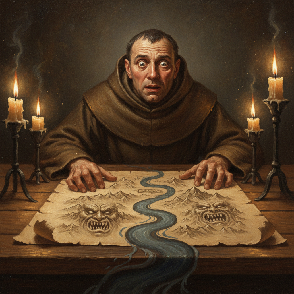
Let’s get one thing straight: medieval parchment wasn’t paper. It was animal skin—usually sheep, sometimes goat, occasionally a suspiciously sourced donkey—scraped thin and treated. The archival glue they used to patch this stuff up? Also animal parts. We’re talking boiled-down ligaments, fish bladders, and God knows what else, left to ferment in a clay pot for weeks. The fumes alone could knock a gargoyle off a cathedral. So when Brother Eustace of the Abbey of St. Felching-on-the-Fens got a snootful while mapping the Holy Roman Empire, you can’t blame him for getting… creative.
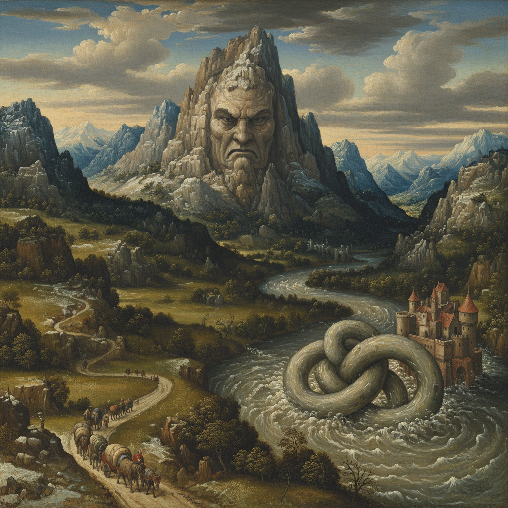
Eustace, bless his horny, vapid little heart, was a cartographer of astounding mediocrity. One clammy Tuesday, while absolutely blitzed on vellum-vapors, he decided the Duchy of Swabia looked a bit bland. So, he gave a whole mountain range a personality. Specifically, the personality of his perpetually-constipated Abbot, complete with a craggy unibrow-ridge and a peak that drooped like a flaccid… well, you get it. For the nearby river, he sketched a writhing, suggestively veined tributary that emptied right into a valley he’d labeled—“in a fit of pique,” he’d later claim—*Vallis Humida*. He passed out face-down on the map, dreaming of anatomically improbable angels.
By morning, all hell had broken loose. The newly-christened Mount Bastardus was actively hurling scree at any pilgrims flying the Abbot’s colors. The river, which locals immediately dubbed “The Fickle Finger,” had changed course overnight, carving a new path directly through the Duke of Swabia’s prize-winning cabbage patch. Reports flooded in from travelers who claimed the river water felt “alarmingly syrupy.” This, of course, gave other monastic map-makers ideas. Within a decade, Europe’s topography was a Freudian nightmare. The Danube developed a taste for drama and would randomly go into reverse. The Black Forest became sentient and started demanding tribute in the form of erotic poetry. And the less said about the Sognefjord’s newfound “oral fixation,” the better.
Kingdoms had to adapt. Feudal charters started including codicils like, “should the River Po develop wanderlust and abandon its banks, all herring-related tithes are suspended.” Royal courts added a new position: the Geological Ambassador, whose sole job was to placate moody landmasses. We have records of King Louis VII sending a cart of “the finest, most pungent cheeses” to the Pyrenees to stop a series of politically inconvenient avalanches. Historians still debate what, exactly, the mountain range did to that cheese, but a fake account attributed to a shepherd named Jacques the Unfortunate claims, “the entire massif seemed to… *shudder* with satisfaction for three whole days.” Topographical fetishism became the hot new heresy, with back-alley cults performing unspeakable rites to get on a valley’s good side.
The whole mess was eventually suppressed by Pope Eugene III, who issued a papal bull titled *Quod Est Shagging Montes?* (which roughly translates to “Are You Fucking Mountains?”). The art of sentient cartography was declared a sin of the highest order—right up there with usury and sleeping with your wife on a Sunday. The original glue recipe was burned, the monks were put on a strict water-and-unfermented-bread diet, and the whole embarrassing affair was scrubbed from the books. But the landscape remembers. Next time you see a peculiarly shaped hill or a river that takes a bizarrely inefficient route, just know it’s not erosion. It’s the lingering result of a bored monk who got high and decided to draw a dick on a map.