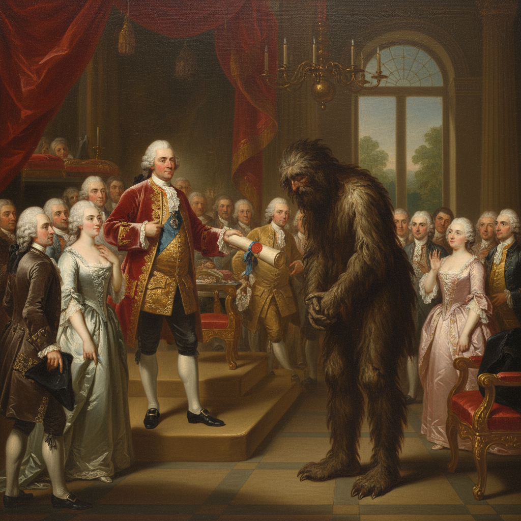
Does Bigfoot Shit in the Woods? Only When He’s Calibrating a Sextant.
A startling new history of American surveying reveals the continent’s most famous cryptid was just a man named Bartholomew “Barty” Bigfoot, doing his damn job.
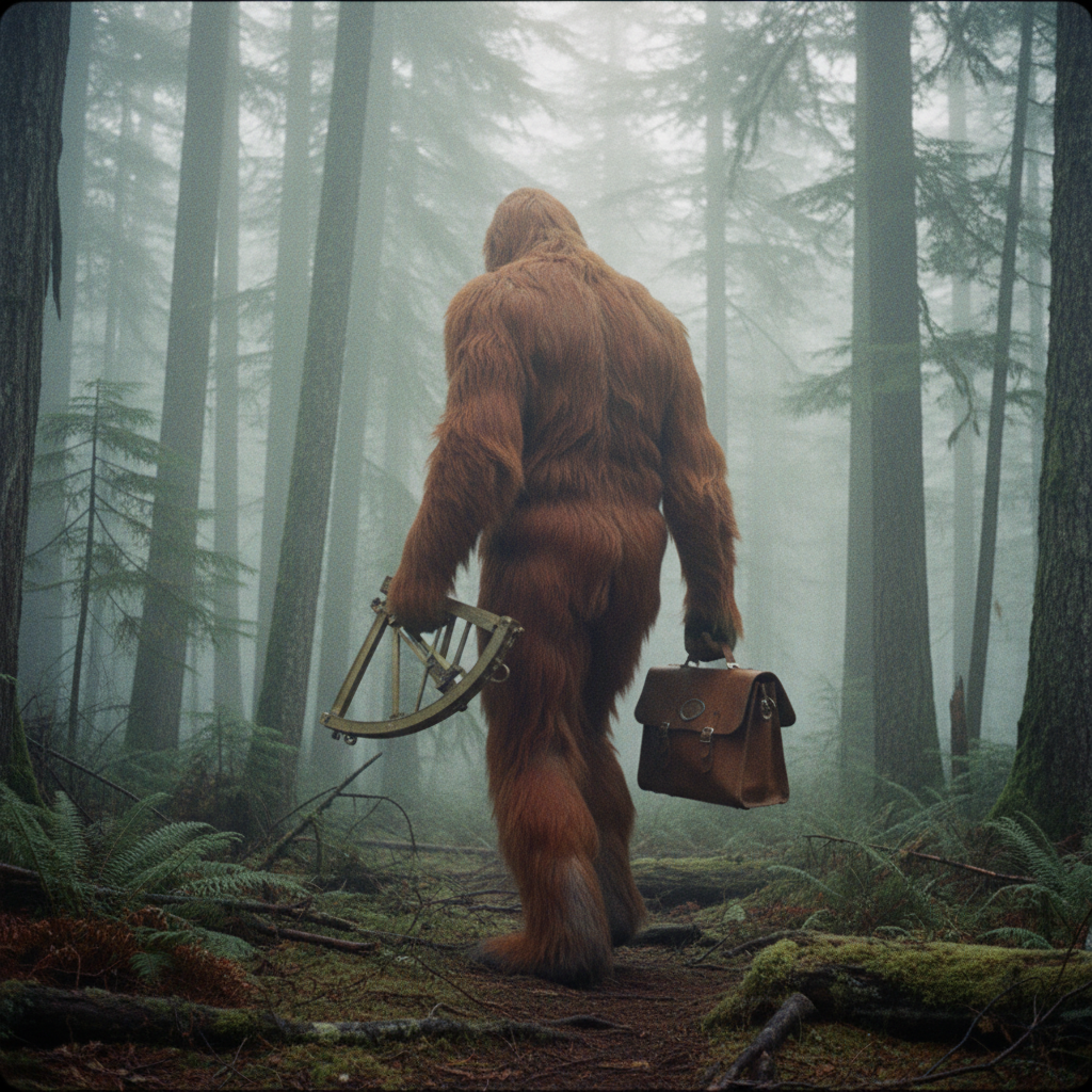
Have you ever asked yourself why a ten-foot-tall ape-man would need to be blurry? The question came to me over palm wine with a woman who swore she’d once sold the Mothman a used Toyota. The answer is not, she insisted, because he is shy. It is because he is working.
His name, or so the story goes, was Bartholomew “Barty” Bigfoot, and he was the British Admiralty’s finest, if hairiest, cartographer. In 1763, with the ink still drying on the Treaty of Paris, King George III needed his new American territories mapped, especially the bits that kept eating his ships. The Bermuda Triangle, a place of inconvenient magnetism and even more inconveniently vanished tax revenue, was job one. But who to send? The Admiralty’s hydrographers were pale men, prone to scurvy and complaining. Barty, on the other hand, was a specimen. Covered head to toe in a pelt that made an otter look bald, he was waterproof, insulated, and, thanks to a childhood spent in the fens of Lincolnshire, utterly unbothered by wet socks. He was given a budget of seventeen guineas, a brass sextant, and a waterproof satchel full of vellum, and told not to come back until the Atlantic stopped being so mysterious.
This, you understand, is where the trouble starts. Cartography is a precise business. You need a baseline. You need to triangulate. Barty’s method involved planting his own oversized person at a known point, taking a reading, and then sprinting several miles through dense undergrowth to take another. To a passing colonial farmer, this looked less like surveying and more like a Sasquatch having a seizure. The famous Patterson-Gimlin film of 1967? My grandmother would tell you that’s not a monster in retreat. That’s a man looking back over his shoulder to check his alignment with a coastal landmark before a rogue wave or a particularly aggressive pelican ruins the shot.
For two centuries, Barty tried to finish his map. He was a diligent public servant, if a legendarily bad navigator. His initial attempts to map the coast of Florida accidentally took him up the Columbia River into the Pacific Northwest. A miscalculation involving a waterspout and a flock of geese left him briefly charting the Ohio River Valley. Every blurry photo, every giant footprint cast in plaster, every terrified camper’s tale was just another day at the office for a man perpetually behind on his deadlines. The howls heard in the deep woods? The frustrated roar of a civil servant realizing he’s left his good quill back in Nassau. The smell? Oh, you’d smell too if you’d been wearing the same damp fur since the reign of King George III.